Log in
All resources
Create a design
32 Free Images of 18th Century Maps Of Indonesia
maps of the dutch east india company - indonesia
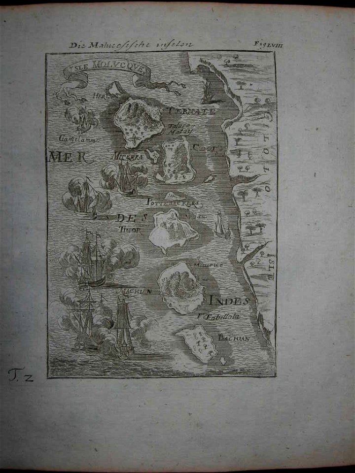
maps of the moluccas
banda islands
1724
indonesia in the 18th century
maluku in the 18th century
maps of sulawesi
old maps of the philippines
koninklijke bibliotheek
1753 maps
batavia
1740
18th-century maps of indonesia
banda islands
18th-century maps of indonesia
1753 maps
18th-century maps of indonesia
1705
18th-century maps of indonesia
1753 maps
collections of musée de la compagnie des indes
18th-century maps of indonesia
maps of the dutch east india company - indonesia
banda islands
18th-century maps of indonesia
1724
18th-century maps of indonesia
1744
18th-century maps of indonesia
1724
maps of the dutch east india company - indonesia
1739
18th-century maps of indonesia
1757
18th-century maps of indonesia
description de l'universe
maps of the dutch east india company - indonesia
maps of east java
makassar
1757
maps of the dutch east india company - indonesia
banda islands
18th-century maps of indonesia
old maps of the philippines
18th-century maps of indonesia
1724
18th-century maps of indonesia
maps by jacques-nicolas bellin
18th-century maps of indonesia
1744
old maps of indonesia
old maps of tibet
18th-century maps of indonesia
maps of new guinea
ottomar elliger (ii)
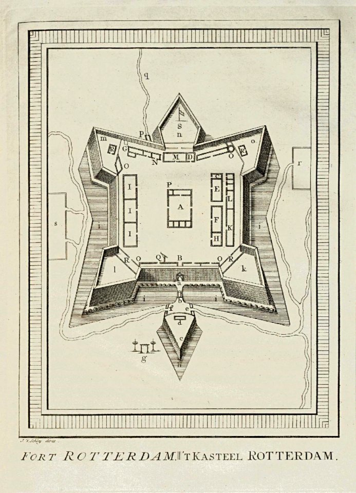
fort rotterdam
old maps of the dutch east india company - malaysia
maps of the dutch east india company - indonesia
maps of the dutch east india company - indonesia
18th-century maps of sulawesi
maps of the dutch east india company - indonesia
claudius anthony van luepken
18th-century maps of southeast asia
description de l'universe
maps of the dutch east india company - indonesia
18th-century maps of java
18th-century maps of borneo
1780s maps of indonesia
18th-century maps of the malay archipelago
1790s maps of china
historical
history
maps in the rijksmuseum amsterdam
18th-century maps of indonesia
1 - 32 of 32
/ 1